
Experts in cartographic and territorial information management
We offer specialized services and products focused on meeting the needs of public agencies (Municipalities, Ministries, GORES) and private companies (Engineering, Environment, Mining). We integrate cutting-edge technology to transform spatial data into strategic decisions
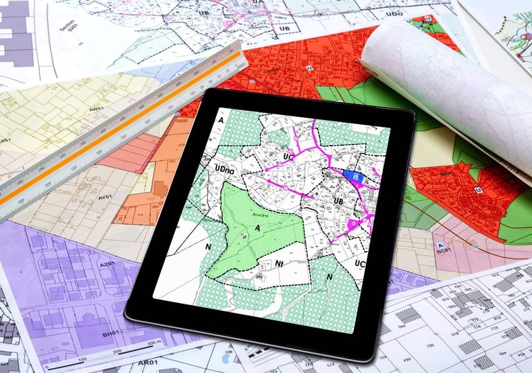
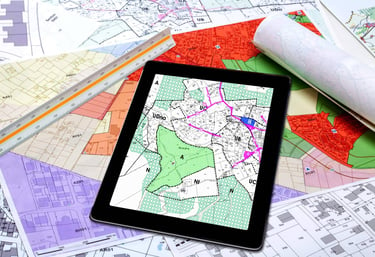
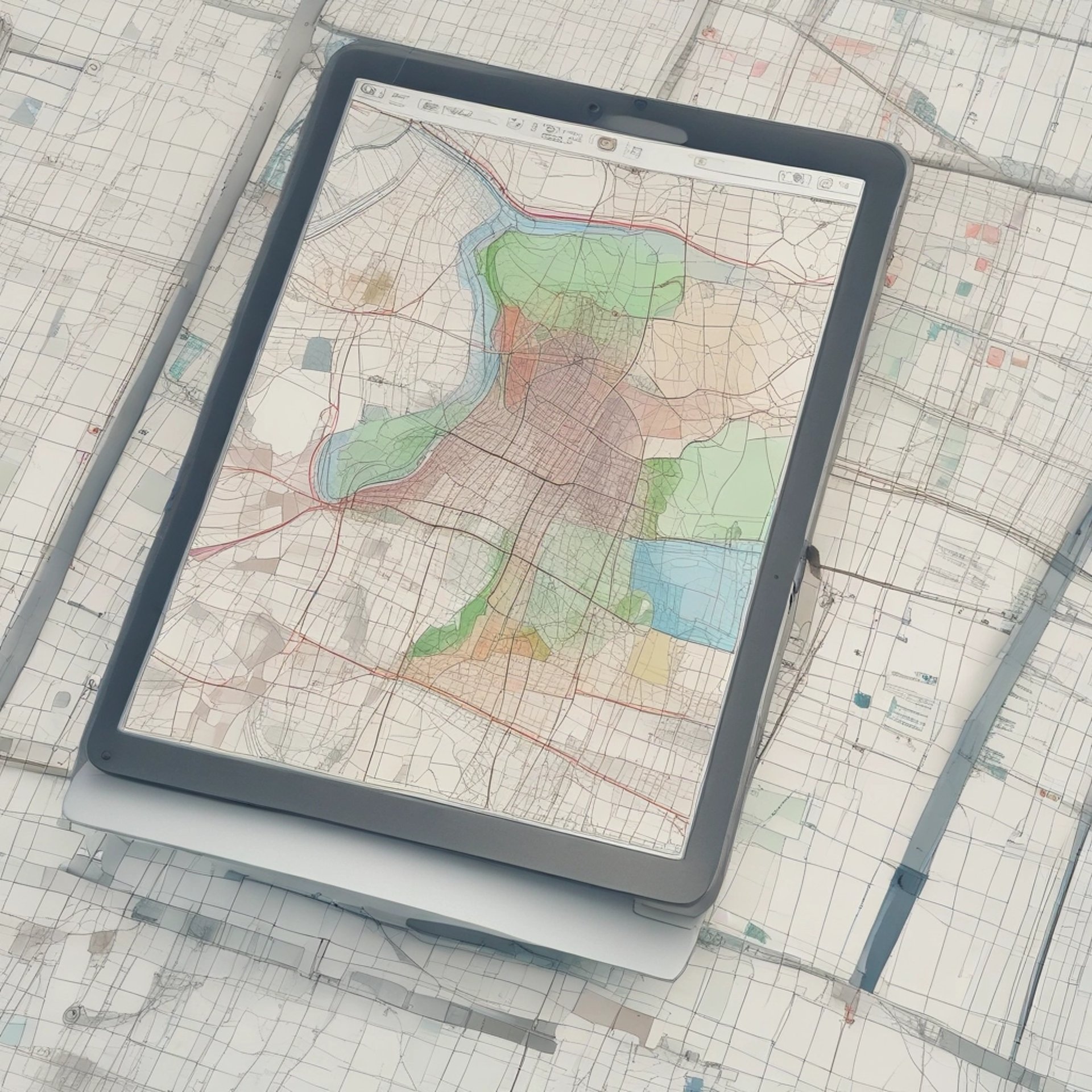
Digital Cartography and Territorial Planning
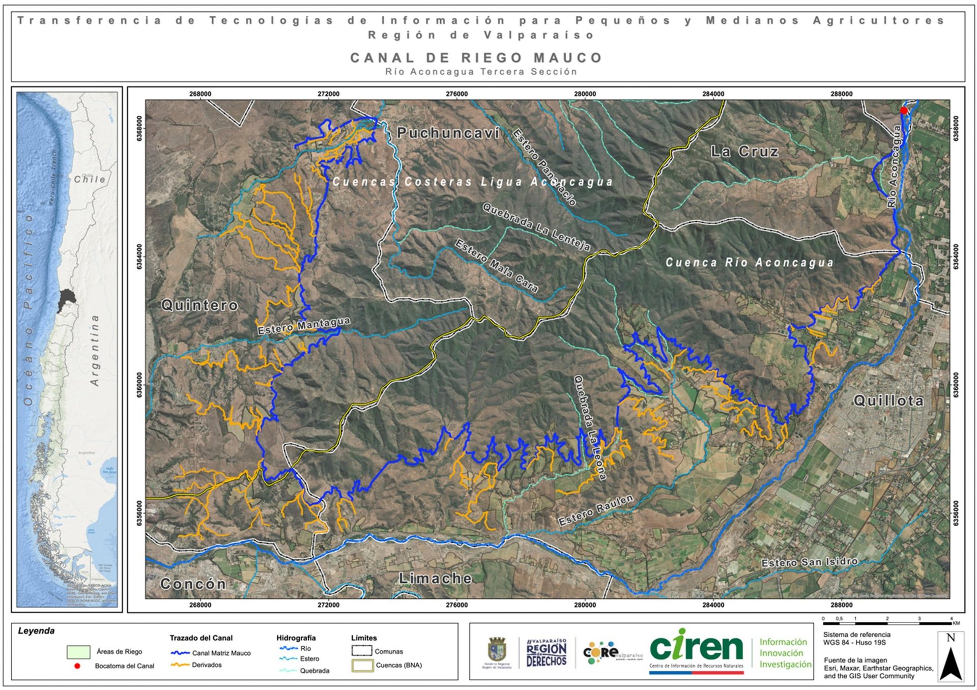
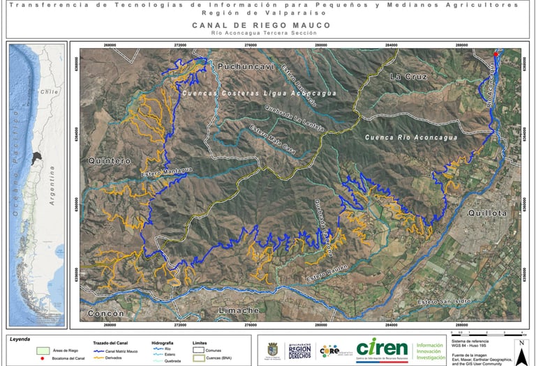
Production and management of high-precision base cartography, essential for territorial planning and project evaluation.
Territorial Planning Instruments (IPT): Development of cartography for Metropolitan, Intercommunal, Communal, and Sectional Regulatory Plans.
Environmental and Engineering Studies: Detailed cartography for baselines, environmental diagnostics, and impact assessments.
Standardization and Editing: Cartographic update and standardization, digitization of analog plans, and restitution from orthophotographs.
Geographic Information Systems (GIS) and Databases
Field data capture using cutting-edge technology to ensure the metric accuracy of each project
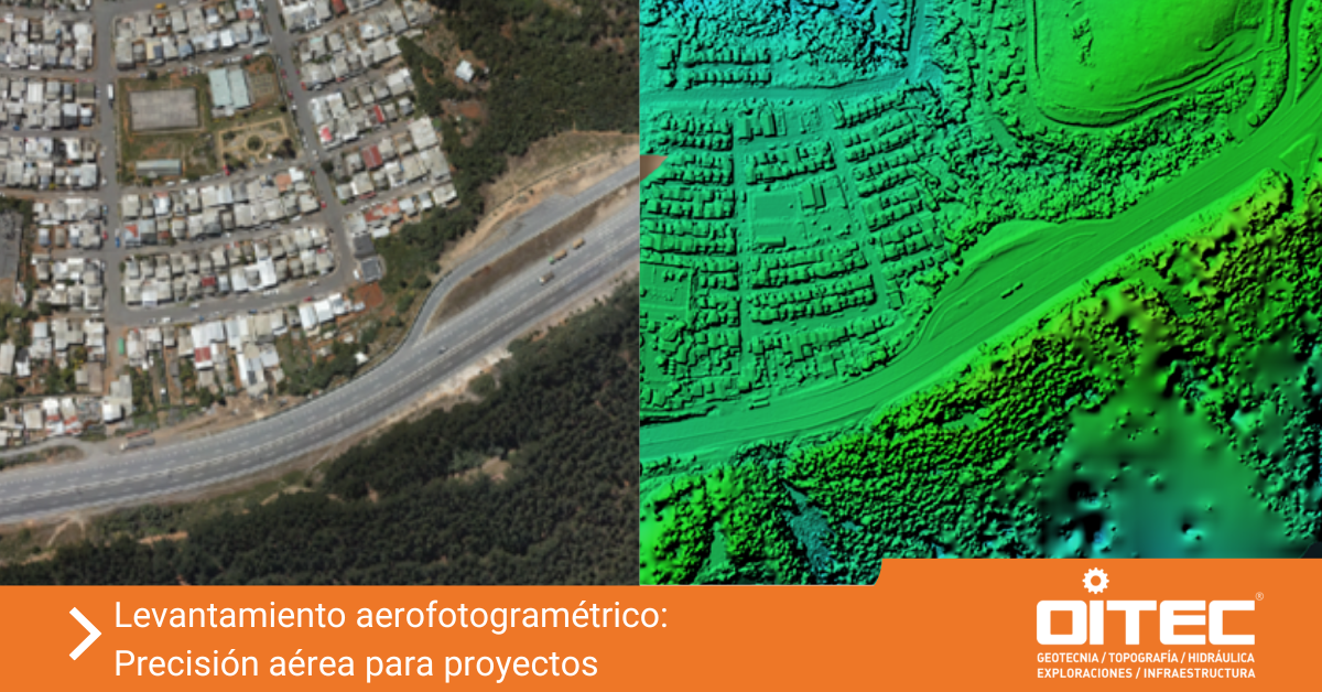
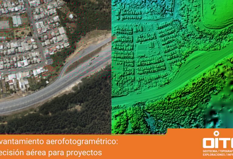
RPAS Technology (Drones) and Lidar: Advisory in flight planning, mosaic acquisition, orthophotographs, and generation of Digital Terrain/Surface Models (DTM-DSM) from point clouds.
Global Positioning Systems (GPS): Urban and rural surveys with sub-metric precision using data collectors.
3D Modeling: Design of multipurpose 3D surface models and virtual surface flights
Geospatial Survey and Precision Technologies
Implementation of Territorial Information Systems to optimize resource management and decision-making. We work with leading platforms such as ArcGIS Pro, QGIS, MapInfo, and AutoCAD Map.
Geodatabases and Modeling: Creation, modeling, and migration of complex geographic databases.
Advanced Spatial Analysis: Analysis of territorial variables, network analysis, address geocoding, and georeferencing of events.
Dynamic Visualization: Online map publication and generation of interactive Dashboards for monitoring spatial indicators.
We share our expertise to build your team’s internal capabilities, or we review third-party work to ensure its quality.
Cartographic Review: Tolerance checks and technical review of photogrammetric and topographic surveys provided by third parties.
Customized Training: GIS and digital mapping courses tailored to your schedule, specific topics, and unique challenges (e.g., how to create databases, develop thematic maps, or use drones for mapping).
Consulting, expert analysis, and training
When should you contact our experts?
Practical applications
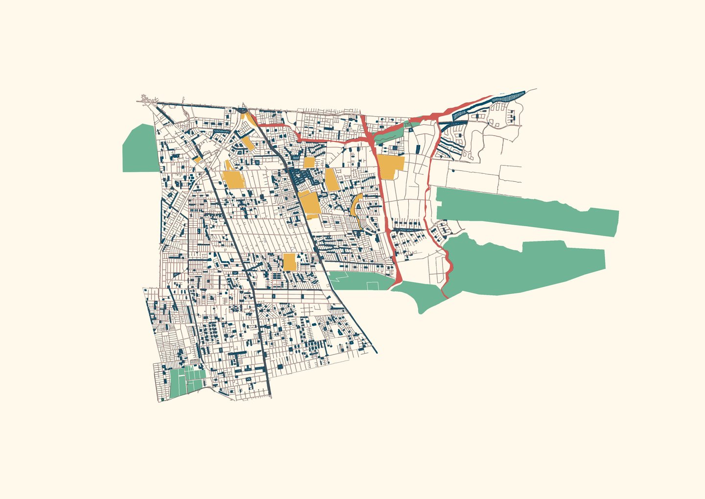
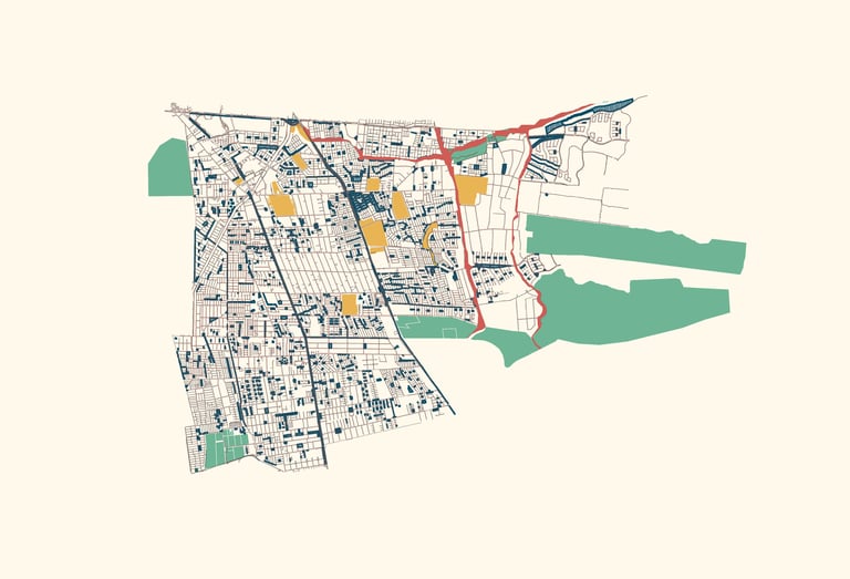
Regulatory and Urban Mapping (PRC)
We create and update urban maps, ensuring compliance with the required technical standards, including maps for the Social Integration N° 21.450.
Data Integration and Georeferencing
We georeference your data and tables, assign the correct map projections, and consolidate the information into a standardized map database.
Geodatabases and Topological Checking
We create and structure robust geodatabases. We apply topological rules to feature layers to ensure that your data contains no gaps or overlaps.
3D Modeling and Photogrammetry (Drones)
We use drones (RPAS) to generate up-to-date maps. We produce high-resolution orthophotos and Digital Elevation Models (DEMs).
Field Surveying and GPS Monitoring
We conduct field data surveys. We generate precise control points, tracks, and waypoints using GPS technology.
Map Production and Publishing
We design thematic maps and automate the production of bulk maps for printing. We also publish your maps online and create dashboards.
Audit and Technical Review (Expert Assessment)
Expert assessment and tolerance control for photogrammetric surveys. We thoroughly review and validate any GIS-generated output.
Strategic Consulting and Training
We can guide you on where to obtain map data or purchase digital maps. We offer consulting and training to help you learn how to use GIS, tailored to your preferred software.
Do you need cartographic solutions for your next project?
From field data capture to publication on corporate GIS platforms, we are your strategic partner
Contact
We are here to help you with your GIS projects
TelEPHONES
Verónica Navarrete R.
(+56) 9 92828984
Juan Gourdet B.
(+56) 9 92582539
Cesar Jiménez G.
(+56) 9 57610299